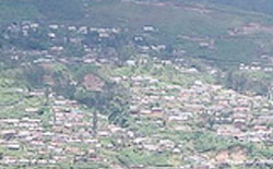
Bomdila
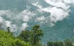
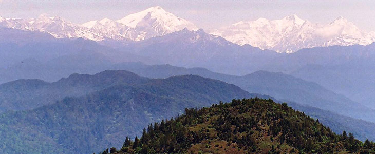
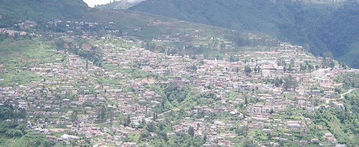
''Bomdila is a picturesque town in the foothills of Himalayas and the headquarter of West Kameng District the land of the Monpa, Sherdukpen, Aka (Hrusso), Miji and Bogun (Khawas) tribes. One can see the brilliant landscape and snow-clad Gorichen ranges of the Himalaya on a clear day.
Bomdila city have a lot of Apple orchids surrounding the city. Bomdila is also perfect place for the Himalayan lovers, snow caped scenic beauty has all the ingredients to mesmerize visitors.
''
the hill station of Bomdila, situated at 3,500 metres in the Himalayas, is the headquarters of the west Kameng district in Arunachal Pradesh. This lofty paradise called Bomdila is snow clad for a major part of the year and makes a delightful destination to get away to in summer.
PLACES AROUND BOMDILA
Craft Centre And Ethnographic Museum - The Craft Centre is famous for the production of very fine exquisite and colourful ‘dragon designs’ carpets, masks and wall hangings which are calledBuddhist Tangkas.
Buddhist Monasteries - One of the must visit places in Bomdilaare the Gompas which are the Buddhist Monasteries.Theyhighlight a strong influence of Buddhist and Tibetan culture.
Bomdila Monastery - The monastery has been built under the guidance of Dalai Lama. It is a residence of more than 200 Buddhist monks.
Dirang - Dirang 40 kms from Bomdila is situated at an altitude of 1497 meters. It is an ideal hill resort in West Kameng district with beautiful Apple Nursery, Kiwi Farm, Yak Research Centre, Buddhist Gompa, Hot Water Spring and ancient Dirang Jong (Fort).
Tipi Orchid Sanctury and Research Center - An Orchidarium at Tipi (5 kms from Bhalukpong) on the way to Bomdila is the Botanical paradise.
Mayodia - a unique hill resot situated at an altitude of 7000feet. It is named after Maya, a Nepali girl who missing in the snow and could not be traced out.
Best time to visit Bomdila
The summersstartfrom the month of April and continuetill the month of June. The weatherisusually mild and the temperature rarely crosses beyond 32°C. This place gets rainfall all-round the year. The prevailing rainfall comes during the months from July to Septemberfrom the South West Monsoon.
HOW TO REACH THERE
Air: Tezpur is on air travel route with regular daily domestic flight from Kolkatta and Guwahati.
Rail: Tezpur Balipara Light Railway [since 1885] is the oldest railway line of the area. Siliguri and Guwahati are convenient rail stations for getting here by train journey.
Road: The nearest bus terminus is again at Tezpur and isapproachable from Kolkata and Guwahati. The cost of travel through buses isnot expensive and the prices differacross the different operators.
Fast Facts about Bomdila
State: Arunachal Pradesh
District: West Kameng
Famous for/as: Tibetan Monasteries
Languages: Monpa, Sherdukpen, Miji, Aka, Hindi, Assamese and English
Best Season: April to October
Altitude: 2217 meters above the mean sea level
Pincode: 790001
STD code: 037822
Distance Charts to Bomdila
Guwahati to Bomdila
316 KM
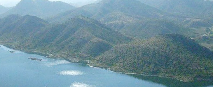
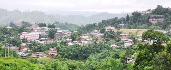
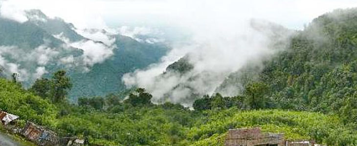
BOMDILA PHOTO GALLERY
Bomdila
Beautiful view of Bomdila
Bomdila
Bomdila
Bomdila